

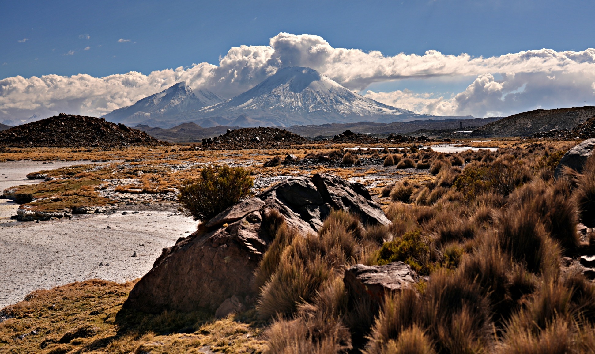
Annapurna Sanctuary is a magical cirque enclosed by the tall peaks of the 10th highest mountain in the world, Annapurna. The holy mountain Machhapuchhare guards its entrance. Finally arriving at this sacred place, we were awed by its beauty.

Day 14 – Ghorepani to Poon Hill to Chhomrong
Distance – 3 ½ km to Poon Hill return, 17 ½ km to Chhomrong; Elevation Gain/Loss- 375 m to Poon Hill, Elevation Loss – 710 m to Chhomrong
We had spent 13 days walking around Annapurna massif, passing small mountain villages (Part I) and over a high mountain pass (Part II). On day 14, after watching an amazing sunrise from Poon Hill (see the pictures in Part II), we had a quick breakfast in Ghorepani and were back on the trail.
Outside Ghorepani the trail climbs through the largest rhododendron forest in the world. It must be very pretty in the spring when they are in bloom. We followed a porter for a while who was playing Justin Bieber’s song ‘Baby’ over and over. Once was fine, but by the 20th repeat of the same song, we were glad when the porter stopped for a rest, and we could get out of earshot.
The trail took us up to Deurali Pass which is roughly the same elevation as Poon Hill. When we reached the top of the pass, we had already gained over 700 m before lunch. There should have been good views, but the clouds had already began to fill the sky. It is common in the Himalayas to have clear skies in the morning but clouds by noon.
The landscape changed as the forest gave way to terraced rice fields. It began to rain and when we were a few minutes before Tadapani it began to pour. Don’t confuse Tadapani (far water) to Tatopani (hot water) which is on the other side of Ghorepani (horse water). Their water isn’t bad, but ancient traders stopped in the village to give their horses water. Pani translates to water in English.

We stopped at a guesthouse in Tadapani to get out of the rain. The cute village is set on a mountain ridge that should have offered amazing views, but not for us. We felt very lucky to have seen the amazing cloudless sunrise that morning.
After the rain, the wet stones that took us up and down the sides of the mountains were very slippery. As we descended we were startled to see a large group of armed soldiers hiking up the trail toward us. We’re not sure why they were there but they passed by us without any problems.
Chhomrong (2,170 m) is a popular spot for trekkers going to Annapurna Sanctuary. Trails from a few different villages converge here and it marks the beginning of the only trail to the Sanctuary. Apparently a new road is being built that will reach Chhomrong. It will change the entire atmosphere of this trek.

Day 15 – Chhomrong to Deurali
Distance – 17 km; Elevation Gain – 1,060 m
It was yet another cloudy day, and views of Annapurna South were obscured by thick cloud. The trail from Chhomrong descends down stone steps to a bridge crossing the Chhomrong River before reclimbing on the other side. Looking back we could see the houses of Chhomrong clinging to the side of the mountain. We were complaining to each other that we would have to repeat this same down and up when we returned to Chhomrong in two days. Just then, a group of school kids ran passed us. We realized that they had to do this every day to go between school and home. Remember when your dad told you he had to walk uphill both ways to school and back? Well these kids really did.

Similar to the day before, the clouds brought heavy rain. We quickly ducked into a guesthouse in the village of Sinuwa and had a tea under their covered patio. While we sipped our tea, we met a friendly local store owner. He wanted us to buy something from his shop, but we said we didn’t want the extra weight since we were carrying our own packs. The trail goes through Sinuwa on the way in and out of the sanctuary, so we said we would buy something on the way back.
After the rain, the clouds were boiling in the lush bamboo and rhododendron jungle. This part of the Modi Khola Valley gets a lot of moisture and many of the gnarled trees had moss on their bark. The steep mountains on the side of the valley sprouted waterfalls after the heavy rain. Even the stone bridges were covered in moss making them look even more rickety. Eventually we ended up in the guesthouses of Deurali (3,230 m).


Day 16 – Deurali to Annapurna Base Camp
Distance – 8 km; Elevation Gain – 470 m
The trail continued to climb up the valley through a bamboo forest, passing waterfalls and crossing streams on rustic bridges. Eventually the forest is replaced by moraine and the rocky Modi Khola Valley felt desolate. As we climbed higher, the valley became more and more narrow.


When it was raining lower in the valley, it had snowed at higher elevations. The fresh snowfall made the otherwise brown landscape quite pretty. We met hikers coming down who spent the night at ABC (Annapurna Base Camp). They said it had snowed heavily for their entire stay in the sanctuary and they couldn’t see any of the mountains. Before this trip we had seen pictures of Machhapuchhare’s alpenglow at sunset and were hoping to see it in person. After speaking with them we were glad that we had already planned to have an extra day at ABC if needed. It would give us a better chance to see the sunset. We were on our own so we could stay an extra day, but people on guided hikes don’t usually have that luxury.


Finally, we could see the end of the valley and the gateway to Annapurna Sanctuary. The only entrance to the Sanctuary is a narrow gap between the peaks of Hiunchuli and Machhapuchhare. It’s as if they are protecting it from outsiders. There is a sense of magic in this secluded cirque and it is sacred to both Hindus and Buddhists. As we got closer, we could see Machhapuchhare Base Camp high up on the hill.


We continued up the long plateau to Annapurna Basecamp. It must have been cold overnight because the snow was very icy in the sanctuary, and the trail was slippery. Some porters had running shoes or rubber boots, but many were wearing sandals with plastic bags as socks. Their feet must have been very cold. They had an interesting solution to the slippery snow. They tied coarse string around their sandals. The string provided enough friction so they could walk without slipping. We were glad to have hiking poles for protection.

As we got further along the sanctuary we looked back at the majestic peak of Machhapuchhare. The flat rocky face of its pointed top is clear while the rest of the mountain is covered in snow. Clouds were constantly teasing us with quick glimpses of this beauty before covering it up.


The sanctuary is an incredible place with the high mountains of Annapurna Massif forming three sides sides of the cirque. We had seen the other side of the Annapurna’s peaks from Manang. We had walked all the way around Annapurna and were now we were seeing its opposite side.
Soon we were walking straight toward the snow runnels of Annapurna I. At 8,091 m, Annapurna I is the 10th highest mountain in the world. Annapurna Basecamp has a great spot, nestled below this giant. The camp is very high at 4,130 m, but we were acclimated from the last 15 days so the elevation didn’t bother us at all.


Not far from the basecamp is a memorial for fallen climbers including famous climber Anatoli Boukreev. He summited all of the 8000ers (mountains over 8,000 m) and is credited for saving many lives in the disaster on Everest in 1996. He died climbing Annapurna in 1997.


In the afternoon, thick clouds covered the mountains in the sanctuary. We didn’t think we’d see the alpenglow on Machhapuchhare. Just at the right time though, the clouds began to thin, exposing a bright red mountain. There was a mad rush from the dining hall as everyone grabbed their cameras and ran outside. We were treated to the most incredible alpenglow on the beautiful mountain of Machhapuchhare. It was one of the most breathtaking things we have ever seen. We felt so lucky that we didn’t arrive a day earlier because we would have missed this display.
Machhapuchhare is a sacred mountain and climbing to its peak is not allowed. Hindus believe it is the home of their god Shiva and the snow plumes coming off its peak are from Shiva’s incense. In Nepali it means fishtail, because from many angles its sharp peak has the shape of a fishtail.


Day 16 – ABC to Deurali
Distance – 8 km; Elevation Loss – 470 m
We woke to a clear sky in the morning so were again treated to a spectacular view. There was a gorgeous alpenglow sunrise over the runnels of Annapurna I.


While retracing our steps to the gateway of the sanctuary we were staring at the impressive Machhapuchhare. It was in full view, proudly showing us its sacred peak. To the side, the tall peak of Gangapurna poked above the hills. We had seen Gangapurna and parts of the Annapurna massif from the other side near Manang.


Day 17 – Deurali to Chhomrong
Distance – 17 km, Elevation Loss – 1,060 m
We retraced our steps through the thick bamboo and rhododendron forest and up an down the terraced rice fields. Even though the trail went up and down, it was much easier since overall we lost over 1,000 m.
As we passed through the village of Sinuwa, the store owner recognized us. We felt obligated to buy something, but wanted something light. We chose a package of prayer flags, some of which we strung on mountain trails in Canada.


Day 18 – Chhomrong to Landruk
Distance – 9 km; Elevation Loss – 520 m
Between Chhomrong and Landruk the steep hillsides are covered in rice terraces and dotted with farmhouses and small villages. The trail went up and down as it crossed many creeks and waterfalls.


The houses in this region are built in the Newari architectural styles. They are usually two stories with exposed brick and detailed carvings on the wooden gables. The homes are very different from the flat top homes in the Buddhist regions. The people were very friendly as we walked by on the stone paths. Children came running to great us and ask for candy.


We were surprised at the views that awaited us in Landruk (1,650 m). We found a lovely guesthouse. The outdoor dining area had a spectacular view toward Annapurna South. It was perfect for our last night on the trek.


Day 19 – Landruk to Phedi to Pokhara
Distance 12 km, Elevation Loss – 1,540 m
A clear sky meant we had an amazing view of the alpenglow sunrise on Annapurna South. The trek began with more climbing as we had to go over yet another mountain pass. Our bodies were so well acclimatized by now that at the low elevation of 2,000 m, it was an easy walk. From the pass all the way to the town of Dhampus we followed a high ridge that had stunning views. From the ridge we could see Annapurna South, Machhapuchhare, Manaslu, Gangapurna and other peaks. From this angle it is easier to see the fishtail shape of Machhapuchhare’s peak. It was one of the best last days of a trek we had ever had.
After nearly half a day we took the long stone steps all they way down to the highway at Phedi (1,130 m). From there we caught a taxi for the 1 ½ hour taxi ride back to Pokhara.


Pokhara (1,400 m) is a great city. It is located in the Himalayas and has gorgeous views of Machhapuchhare from many places in town. There are a lot of hotels and restaurants catering to international tourists. On our 2018 trip to Nepal we spent a few weeks in this city. Stories from that trip are here.


Tips for trekking in the Annapurna Conservation Area
Fees and permits
There are 2 permits that are required for all hiking in the Annapurna Conservation Area; ANCAP (Annapurna) and TIMS (all treks in Nepal). They can be purchased from:
Kathmandu: Permits and TIMS cards can be purchased in the Nepal Tourism Board Office on Pradarshani Marg, Kathmandu
Pokhara: Permits can be purchased at the Nepal Tourism Board Service Center in Damside.
You need to bring payment in Nepalese cash, photocopies of your passport, and 4 passport size photos. The form requires the following information: entrance & exit points of your trek, start and end dates, as well as emergency contact information both local (your hotel or guesthouse) and your family.
Do I need a guide?
As of 2023, all treks in Nepal require a certified guide. There are plenty of companies in Kathmandu and Pokhara offering services for both guides and porters. Porters can be hired separately if you don’t want to carry your pack. Hiring a guide is great for someone without experience. The problem is that some guides will chose the accommodation and schedule that is best for them, not for you. On our guided trek around Manaslu we stayed at a couple of less than optimal guesthouses before we began refusing his choices.
Where to stay and eat
Almost every village you pass on the Annapurna Circuit, Annapurna Sanctuary and Poon Hill treks have a selection of guesthouses. This makes it easy to go as long or short as you want each day. In many areas the guesthouses have set prices for both rooms and menus. The main difference between them is cleanliness, so don’t be afraid to look at the rooms and bathrooms before agreeing to stay. Guesthouses charge 200-400 Rupees ($1.50-3.50 USD) per person if you buy your meals (dinner and breakfast) from them. Without eating their food, the rates are higher. Rooms include single beds with blankets and pillows. You should have your own sleeping bag. Some will have electricity for charging electronics and many now have Wi-Fi. In higher elevations though, these may not be available.
Menus are generally the same and offer typical local food and a few ‘western’ options. The cheapest option is always dal bhat (lentils and rice) with free refills. Our favourites are momos (dumplings) and Tibetan bread (fried bread).
Along the trail, every guesthouse has a restaurant where you can buy your lunch and there are small shops selling junk food and pop or bottled water.
Drinking water
In the Annapurna region there are a number of stations selling filtered water for a nominal fee. In areas where there is no station most guesthouses will sell boiled water. There are communal taps in many villages, but this water needs to be treated. Bottled water is available everywhere, but gets more expensive in remote areas.
Tipping
Tipping is not expected in guesthouses, but is expected by guides and porters. The amount you tip will be based on their service, but it would be customary to tip a trekking guide $5 USD/day and porters $2-3 USD/day. If you have a heavy pack or conditions were tough it would be prudent to be more generous. If you have extra equipment that you no longer require, they may also be nice gifts for the staff, but they don’t replace a monetary tip.
Best time to trek
The best months are the dry months of March-April and October-November. Flowers will be in bloom in the spring.
Coming Next: Everest Basecamp or Annapurna Circuit, which is better
For extra pictures from Nepal click here. For pictures from other blogs go to Gallery at monkeystale.ca
To read about more of our adventures go to Destinations.
If you like what you read, please comment or share (with credit) using the links below.


We'd love to hear from you, please leave a comment.