

Mount Assiniboine has a commanding presence and a beauty so grand that you can’t take your eyes off the giant. It has been nicknamed the ‘Matterhorn of the Rockies’ for its tall, pyramidal shape that can be seen from miles away.
There are no roads to reach the mountain; just untouched wilderness. This gives it an allure that brings a lot of backpackers in the summer (You can read our summer hike to Mount Assiniboine here). A couple of years ago we ski toured to Mount Assiniboine in the winter.
The ski traverse to Mount Assiniboine travels from Sunshine Village Ski Resort to Mount Shark Trailhead. The route has unsurpassed scenery as it passes over the Continental Divide, through 1 national park, 2 provincial parks and 2 provinces. The entire route is roughly 55 km (34 miles) with 1,000 m (3,500 ft) elevation gain. Since it’s not a heavily tracked route, expect to be breaking trail and route finding all the way to Mount Assiniboine. It also crosses complex terrain with avalanche hazards so should only be attempted by those with training and experience.
This is not a detailed route guide for the traverse, but instead a recap of sights along the way.

Day 1 – Sunshine Village to Porcupine Creek Campground
Distance: 17.5 km (10.8 miles)
Elevation gain: 727m (2,385 ft.)
Sunshine Village Ski Resort is a popular ski destination in Banff National Park. The ski tour begins in Sunshine Meadows which is on a plateau above the ski resort. To get there we could have skied up the long, ski out road, but decided we didn’t want to waste our energy. Instead we took the gondola up to Sunshine Village, leaving us only a short climb out of the ski resort and up to the meadows.
Note – Sunshine Village may change their policy on uphill skiing in their resort or on the access road. Check with the resort for their latest policies.
Sunshine Meadows (2,300m) is a large, open area with expansive views of the Rocky Mountains. The rolling hills of the meadows lead to a lookout above Howard Douglas Lake. On a clear day, from the lookout you can see the tip of Mount Assiniboine rising above the other mountains.


After passing Howard Douglas Lake the trail slowly climbs to Citadel Pass (2,360m). The terrain is wide open allowing you to soak in the incredible views. We’ve included a picture from the summer for comparison. They weren’t taken from the exact same place, but close.


From the pass the trail descends into Golden Valley. Depending on conditions the trail either drops steeply through the trees toward Porcupine Creek Campground or traverses around the valley on snow covered scree slopes. When we went the avalanche risk was quite high so we opted for the treed route. It was quite scary as there was a top layer of isothermal snow. The heavy snow slid with us as we descended between the trees. Finally though, we reached the valley bottom and set up our tent in a safe spot.

Day 2 – Porcupine Creek to Magog Lake
Distance -16.5 km (10 1/4 miles)
Elevation Gain – 400 m (1,300 ft)
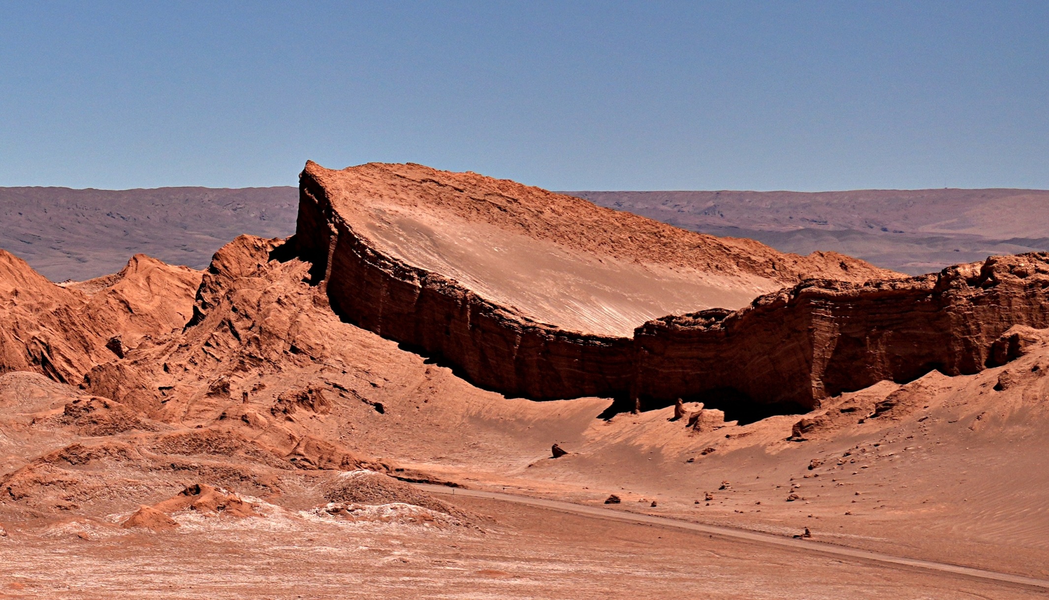
The morning began by slowly climbing out of the valley bottom to reach Valley of the Rocks. In summer this area is very picturesque with huge boulders scattered throughout the valley. In the winter, these boulders are covered in snow and appear as fluffy mounds. It was a magical setting to ski between the boulders.


We worked our way up the valley until we reached a lookout point that offered a stunning view of the snow covered Mount Assiniboine in the distance. Being the highest mountain in the area (3,618 m /11,870 ft), there is often a distinctive plume of snow blowing off its peak.
The closer we got, the better the views. Above Og Lake the view of the giant is breathtaking in both winter and summer.


We skied around Og Lake being careful to avoid the large avalanche slope on its side. Finally, we reached the view we were waiting to see. Mount Assiniboine proudly stands above Lake Magog providing a scene that is unmatched in beauty. We’ve included a picture from the summer for comparison.


From our tent we heard wolves howling in the distance all night long. It was a little unnerving, but we were so tired after our 30 km ski over 2 days that sleep came easily.
Day 3 – Lake Magog to Mt. Shark Day Use Area via Assiniboine Pass
Distance: 27.5 km (17.1 miles)
Elevation loss: 460 m (1,509 ft)
The route to Mt. Shark in Spray Valley Provincial Park is more travelled and relatively easy, if not a little boring. After crossing Assiniboine Pass much of the route is between the trees, so we have very few pictures. The further we skied down the valley, the more it felt like spring than winter. Snow was melting and creeks had running water. Reaching our second car at the Mt. Shark Day Use parking lot was a welcome sight after a difficult, but fantastic 3 day ski traverse.


Details
This is not an out and back route. You’ll need to leave one car at Mount Shark Day use area and then drive with a second car to Sunshine Village Ski Resort parking lot. This parking lot can fill up quickly, so you’ll need to arrive early to ensure you have a spot.
There are two ways to reach Sunshine Meadows. You can purchase a single gondola lift ticket that leaves from the Sunshine parking lot. It adds an extra expense to the trip, but the second option is to skin up a long, boring 6.5 km ski out road. Both options will take you to Sunshine Village, the main base for the ski resort. From there skin up through the resort, approximately 150 m to the meadows. Ski patrols will likely warn you to not try to use the ski lifts without a pass, but you are allowed to skin up if you stay to the side.
For information on conditions in Mount Assiniboine Provincial Park in the winter visit BC Parks.
Check avalanche information before your trip at Avalanche Canada.
This route begins in Banff National Park and ends in Kananaskis Country. Park passes are required for both parks. Passes for Banff can be purchased at park gates. Kananaskis Conservation Pass are purchased on-line.
Where to stay
There are a few options to stay in Mount Assiniboine Provincial Park. Assiniboine Lodge offers private rooms in their lodge overlooking Lake Magog, as well as the more rustic backcountry Naiset Huts. If you’d rather camp, BC Parks have campgrounds at Og and Magog Lakes. In winter they do not accept pre-booking, but a camping permit is required.
Here’s a short slide show with our pictures from several ski tours in the Canadian Rockies in the winter.
Read other ski traverses here – French Robertson, Wapta Traverse, or for other ideas check out Backcountry Ski Touring In The Rockies.
Coming Next: A Stunning Hike in Jasper’s Tonquin Valley
For extra pictures from Canada click here. For pictures from other blogs go to Gallery at monkeystale.ca
To read about more of our adventures from Canada click here, to read about our trips from other parts of the world go to Destinations.
If you like what you read, please comment or share (with credit) using the links below.


We'd love to hear from you, please leave a comment.